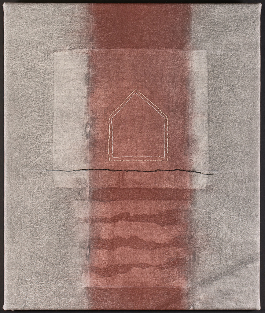
The agricultural fields bordering my daily travels fascinate me: changes in soil color over a foot or two of elevation change; the high-contrast rendering of plowed lines by conditions of light and moisture; and transformations after harvest. I didn’t feel moved to make art, though, until seeing work using earth pigments and soy milk as a medium. With reduced environmental impacts over most dyes, color taken from earth and rocks, worked typically on linen made from flax plants . . . is inspiring. Using large brushes and other tools – the medium invites experimentation – and when wet, is exquisitely responsive to nuances of surface.
Field Edge
16″ x 22″, 2025
I’m drawn to these leftover places because they mark lines in space – one farm next to another – and have highly varied vegetation. A slice, or section, a very thin piece of woodland, cut and exposed. I look for those locations where it’s possible to see two or three of them layered across a distance, setting up a kind of linear rhythm. My slice here has just a few trees, several fallen, and tall and shorter, scrubby grass. Artistically, this was an issue of how to step into a world made by liquid media and some sticks under the cloth, and augment it with stitch.
Detail

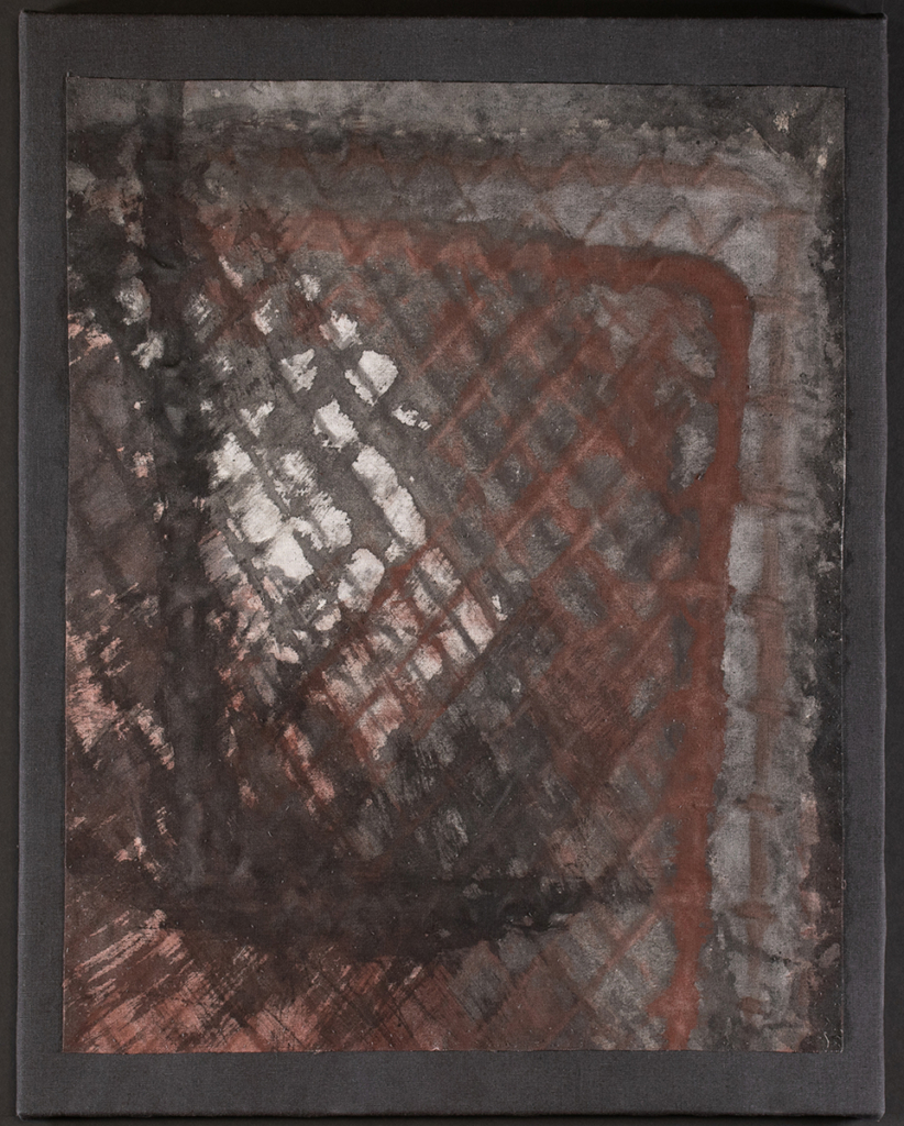
Above, Below
20″ x 24″, 2024
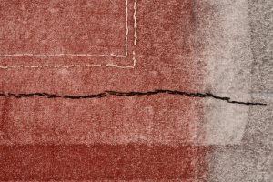
Pre-colonial Indiana was almost 90% forested. Westward movement followed the Revolutionary War, and the rectangular survey system – Land Ordinance of 1785 – packaged land for allotment or sale. With settlement, fields were cleared for agriculture, to build houses, and firewood to warm the houses. Thus, in this composition the dwelling is above grade, and trees become logs are below grade, in spirit if not in actuality. This artwork is elegiac in intent, the house simple and symbolic, the horizontal dividing line the darkest element in the composition.
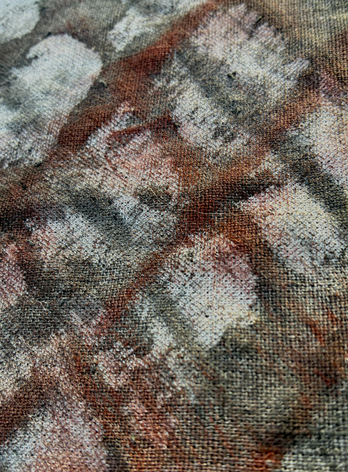
Detail
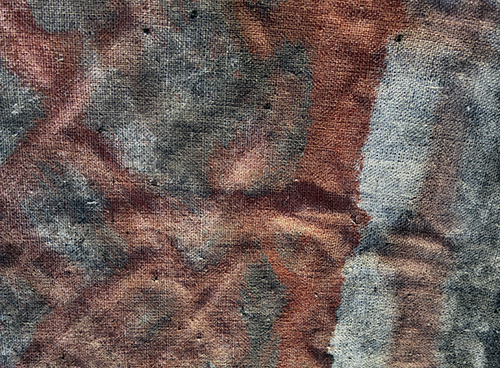
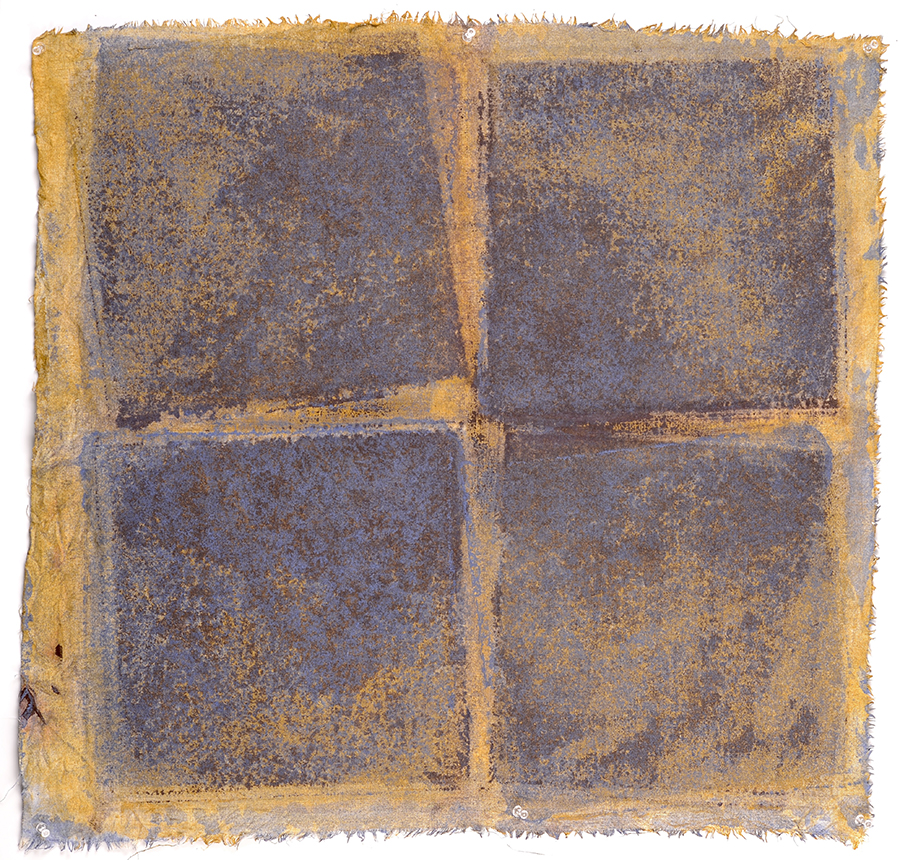
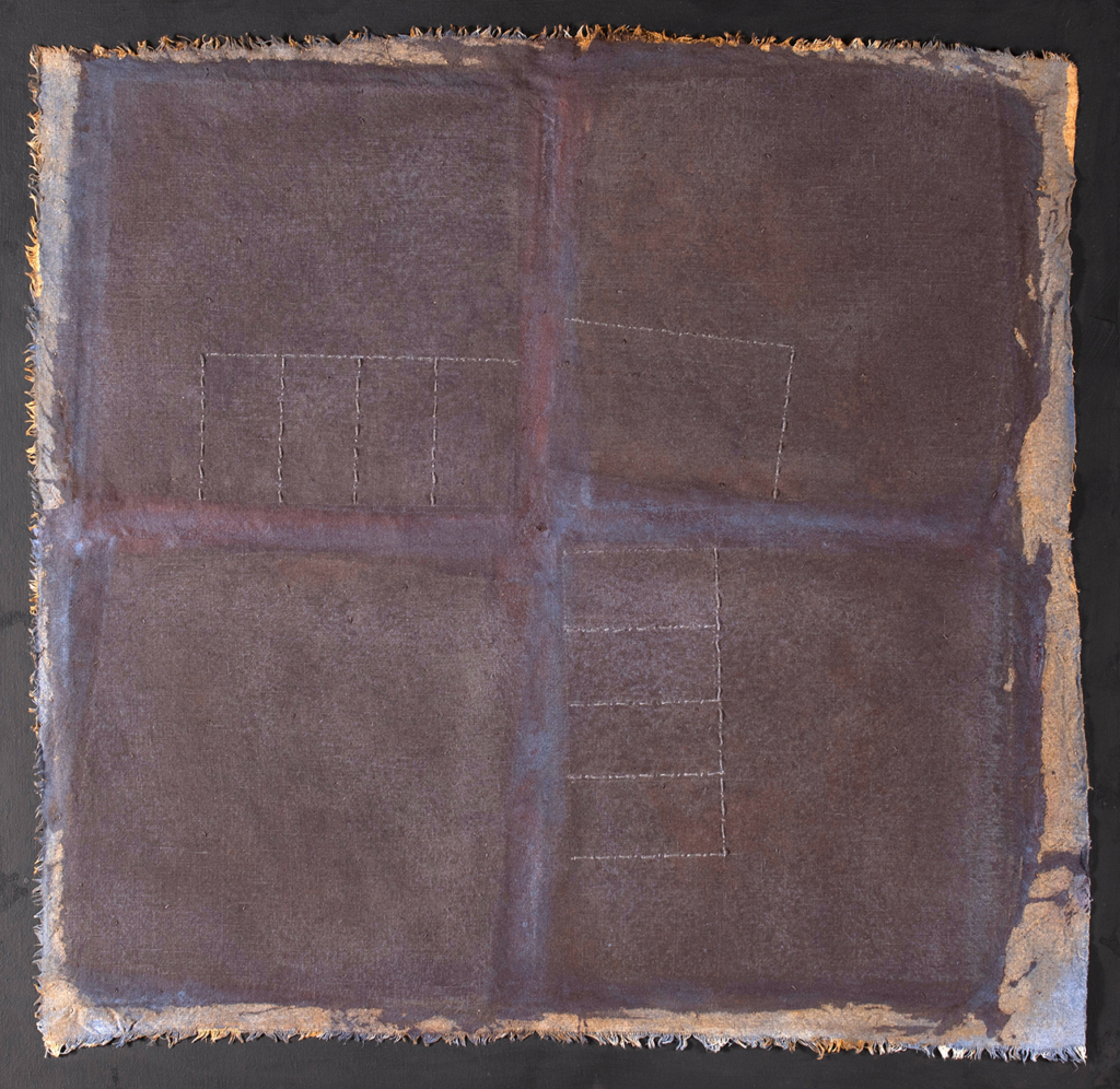
4 Square
30″ x 30″, 2024
The Land Ordinance Survey, the most influential public works project in the country’s history, began with the Northwest Territory. To encourage westward settlement, land was divided into townships, each six miles square, each containing 36 sections. The site of 4 Square is at the meeting of four corners, which don’t always meet so neatly. The lines drawn years ago, bordered by fields to either side, now are often framed by scattered homesites of less than an acre. It’s an edge condition, a local geometry that adds a layer, a series of lines and scale that challenges the vision of geometric purity.
Earlier stage of work in process
Inspired by Indiana landscapes
I live outside a medium-small city in Indiana. The house we built is on a bluff above the White River. On the other side are crops on an industrial scale: soybeans and corn, in large open fields shaped by the rectangular survey system of 1785. We live on 550W, off 200N.
This is a place of straight roads and straight rows — one-point perspectives — but due to the presence of the river is sculpted into great swells like the ocean, that carve down into ravines near the river. Thus all those straight lines are draped over gently undulating land, adding interest as well as a third dimension.
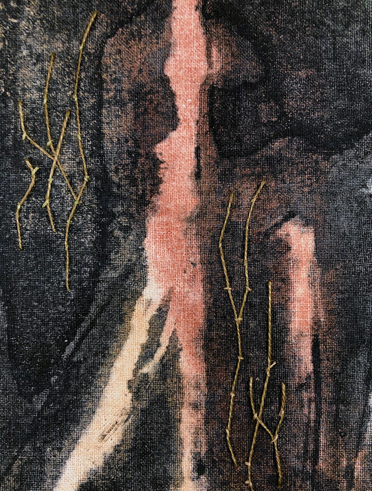
Gate 1
22” x 28,” 2024
Gates are about boundaries, imply the fence. ‘No passage there; but you can go through here.’ To go in suggests specific purpose, to engage the householder, an intent, quite different for a neighbor [vs a stranger]. To go out is a general intent, to go away from, perhaps escape. Earth pigment’s ability to record surface impressions gives a subtle topography to these varied story lines, and records successive movements in time.
Details